An open-world game, one tile at a time
São Paulo
World
Centro · Paulista · Pinheiros · Zona Norte  1 : 1

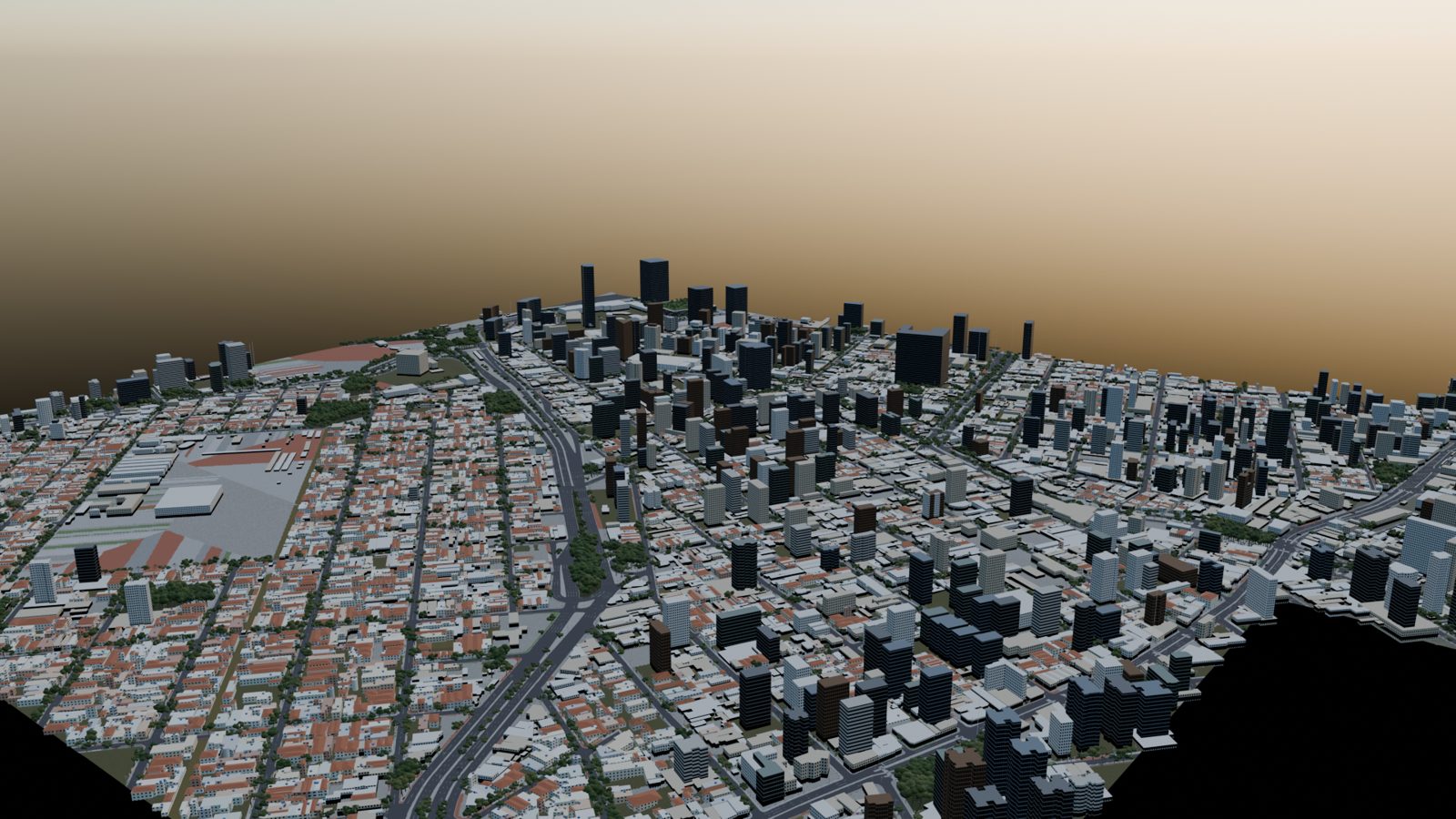
A block-by-block rebuild of São Paulo for an open-world driving game: 507 km² (196 sq mi) of the real city so far, built in blocks of 576 tiles from public survey data, with every building footprint, street tree, lamp post and named street, plus the Metrô running underneath at its real depth.

Drag to pan · scroll or +/− to zoom · hover for the in-game street banner · click a tile
The film · 30 seconds, rendered in Blender

Fly over the city

From street level under MASP on Avenida Paulista, up over Jardins, across Faria Lima at 300 m, down to the Pinheiros river and around the Ponte Estaiada at golden hour. Every frame is the actual game map, rendered on one laptop.

What’s new

November update

The project moved to Unity, the map grew a third block, and every tile is getting a closer look.

Three blocks built

2,028 tiles, three blocks

The map grows in blocks of 576 tiles, 12 × 12 km each. Block 1, the original map from Lapa to Ipiranga, has been through the automatic repair passes and every tile is grade A. Block 2 sits directly north of it: Barra Funda and Casa Verde, up through Santana, Freguesia do Ó and Brasilândia to Tremembé and the edge of the Cantareira forest. Its first pass is built, every tile end to end; the same repair passes come next. Block 3 is 876 more tiles to the east: Mooca, Belém and Tatuapé out towards Penha and Vila Maria, the far north-east up to the Guarulhos border, and the south-east towards the ABC cities. It is built end to end too, and its streets, one-way directions and landmarks are on the map above.

Block 1 · grade ABlock 2 · first passBlock 3 · first passNot built yet
–of 576 block 2 tiles built

See it on the map ↑

Try the physics

Drive the test car

The car runs on OpenRoad Dynamics, a vehicle-physics engine written in C++ that doesn't depend on any game engine: the same core runs headless, inside a game engine, or right here in your browser compiled to WebAssembly, stepping 360 times a second. It's free and open source under the MIT licence.

Rosser V89,000 rpm · 7-speed dual clutch
3.8 s0–100 km/h
~330km/h flat out
1,480kg · 42 / 58
360 Hzphysics step
  • Proving ground, where you start: a bump course, wet and dry skidpads, a split-µ strip and a slalom
  • Drag strip for launches and top speed
  • Fun, Sport, Simulation: the driver aids change, the grip stays the same
  • Engine sound synthesised live from rpm and load, skid marks, and telemetry you can download as CSV
The engine underneath

OpenRoad Dynamics

  • C++20, engine-agnostic: the core has no game-engine headers, so it drops into any engine, a server or a browser
  • Free and open source (MIT): use it in your own game
  • Deterministic, no memory allocation per step, 78 automated tests on Linux, macOS and Windows
Controls
W ↑Throttle S ↓Brake, reverse when stopped A D ← →Steer SpaceHandbrake + − · E QShift up / down (G back to automatic) 1 2 3Fun / Sport / Simulation R C H MReset · camera · settings panel · sound GamepadLeft stick steer, RT gas, LT brake, A handbrake, RB / LB shift PhoneOn-screen pedals, steering and paddles
Street level

The city you already know

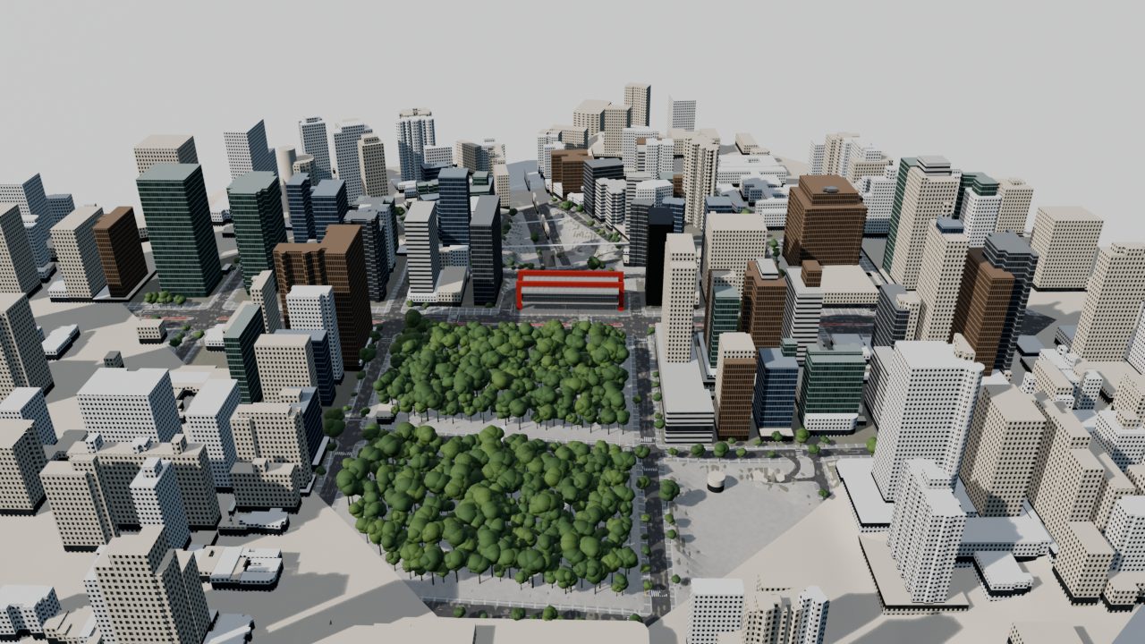
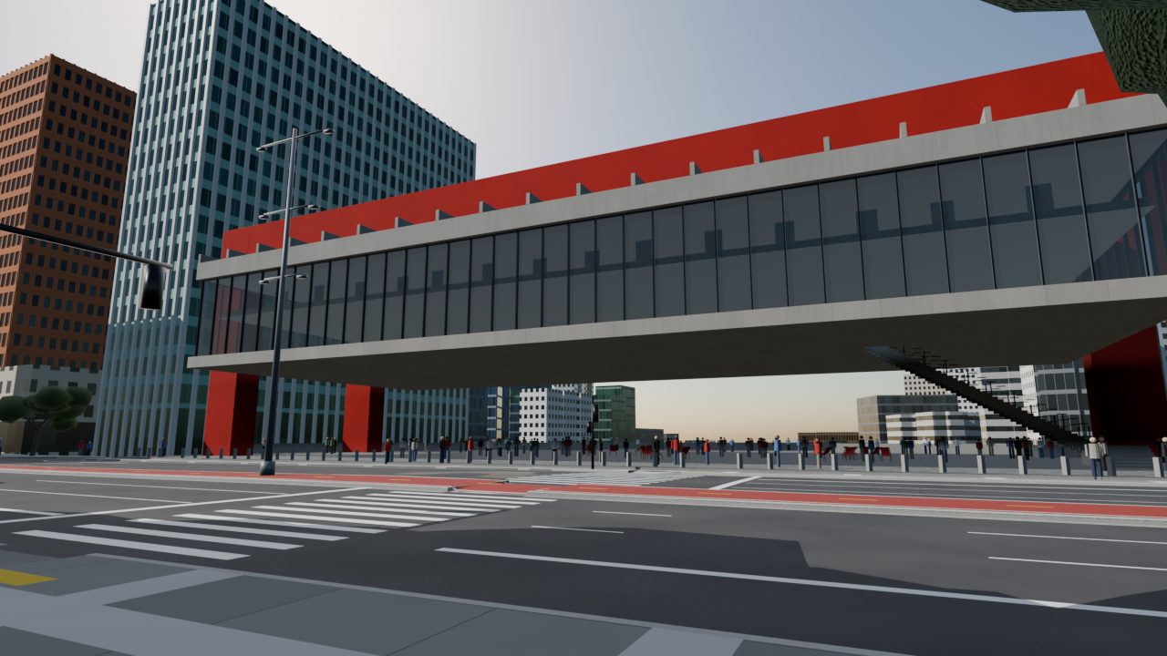
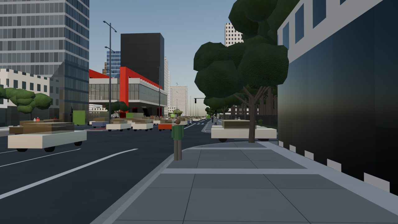
MASP floating over Avenida Paulista, the canopy of Jardins, the towers of Faria Lima. Buildings come from GeoSampa's 3D footprints and OpenStreetMap; sidewalks, curbs, trees, poles and bins are placed from the city's own survey layers, then checked automatically.

MASP over Avenida Paulista
MASP · Avenida PaulistaLina Bo Bardi's red frame over the belvedere
Sidewalk on Avenida Paulista
Paulista sidewalkTrees, bins and lamp posts from GeoSampa
Aerial over Bela Vista
Bela Vista from above
Neighbourhood blocks
Low-rise neighbourhoodsHip roofs, water tanks, front walls
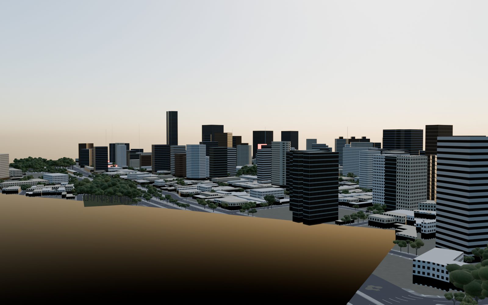
Towers in the south-west
Towers of the south-west
Underground

The Metrô, at its real depth

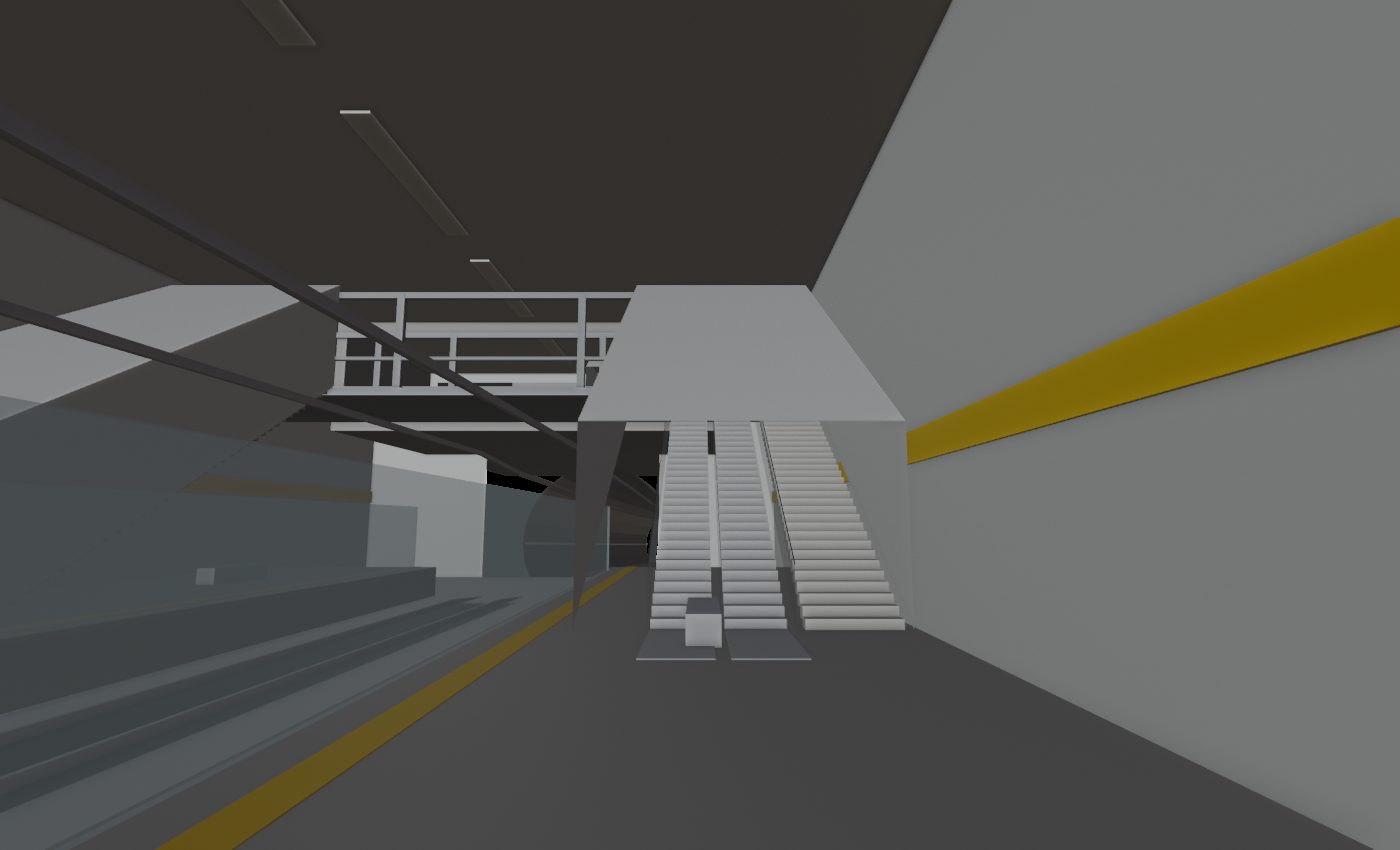
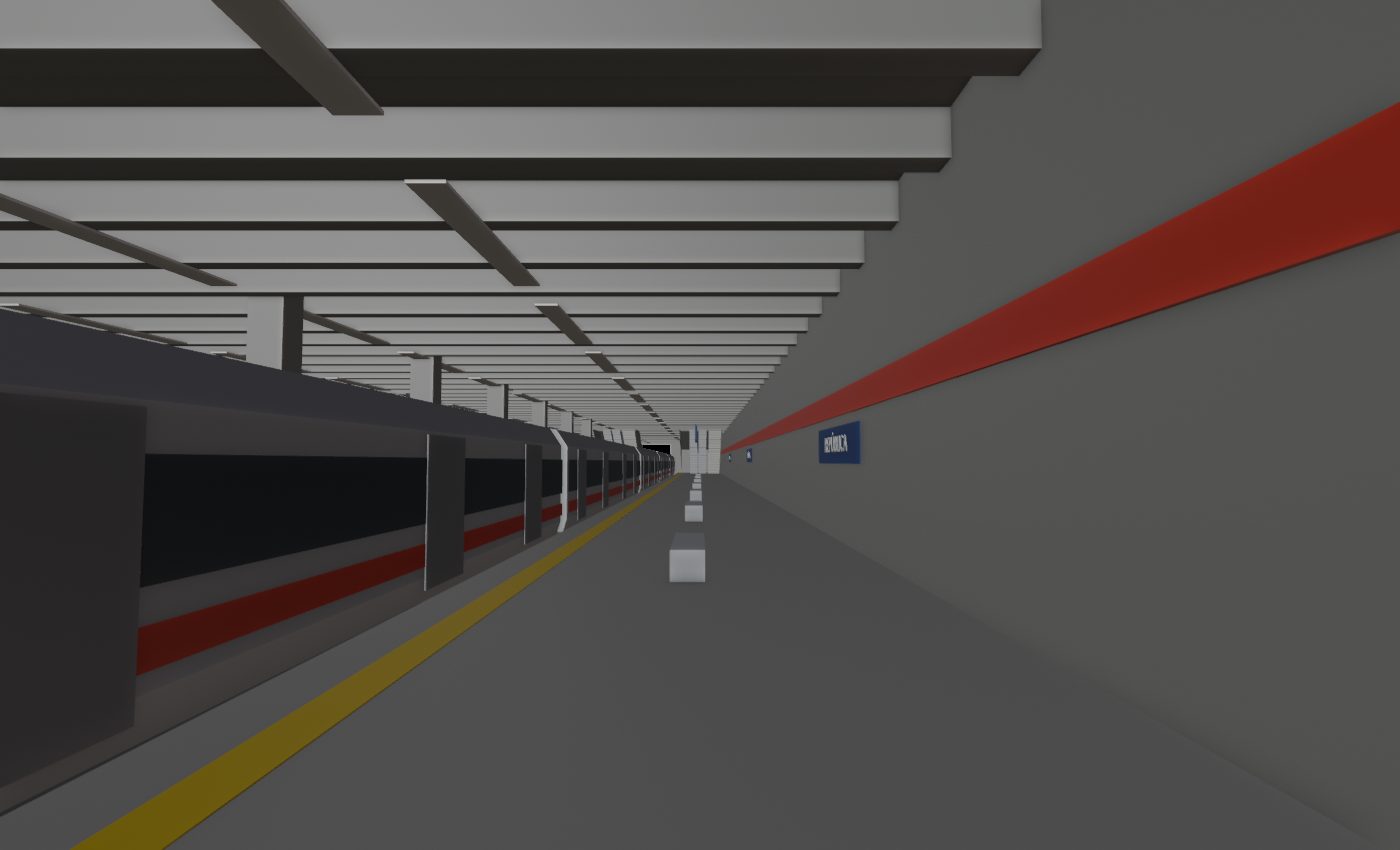
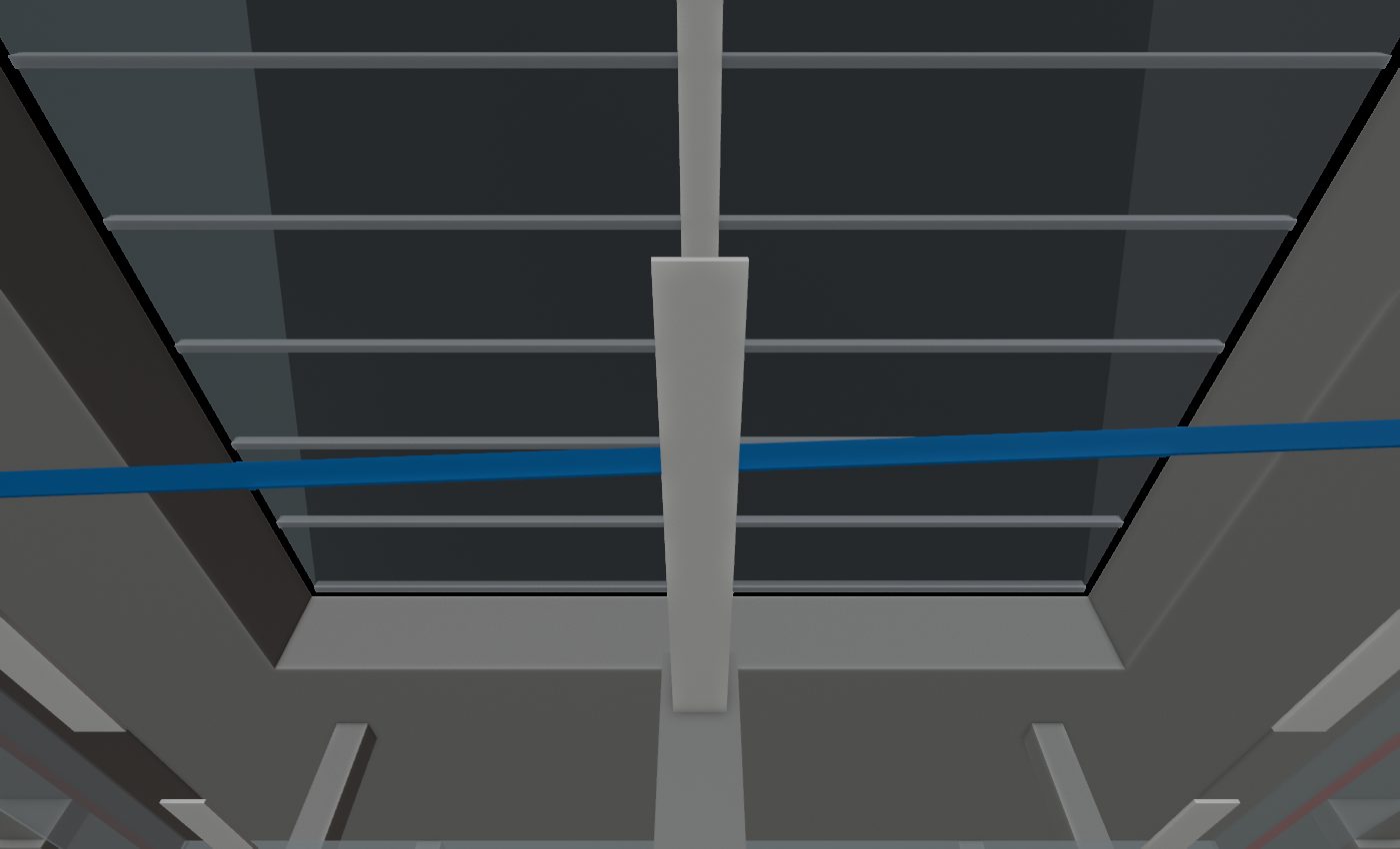
Fourteen lines run through both blocks in their own geometry layer (Metrô, CPTM trains, the airport express and the Line 17 monorail): tunnels, viaducts, 103 station stops and 169 street entrances. Depths come from published figures where they exist (Line 6's Itaberaba–Hospital Vila Penteado sits 65.7 m down) and line-typical values elsewhere. The stations are walkable: real stairs, escalators, fare lines and platforms. The plan below shows block 1; the full network is on the map's Metrô layer.

Hover a station · names show for the selected line.
Track profile · metres relative to MASP street level
Sé station Line 1 platform
Sé · Line 1Lower of the two stacked levels, 24 m down
Paulista Line 4 catwalk
Paulista · Line 4Steel catwalk over the tracks, then the shaft up
República Line 3
República · Line 3
Sé skylight atrium
Sé · the skylight atrium
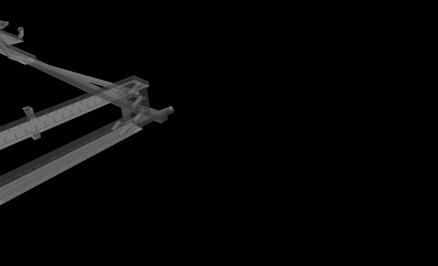
X-ray of the Paulista–Consolação transfer
Paulista ↔ ConsolaçãoThe 300 m transfer passage, x-ray view
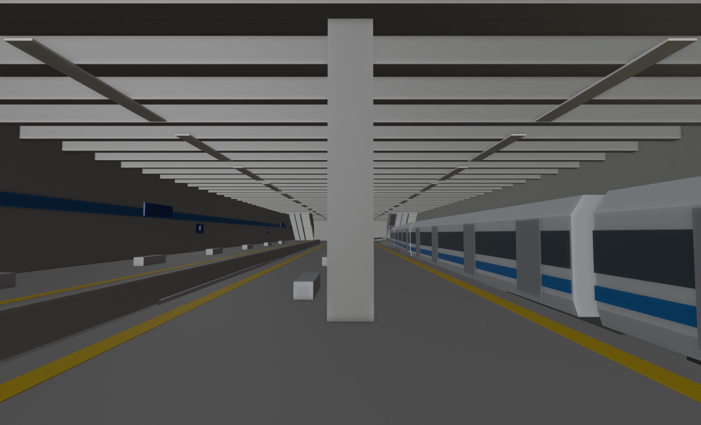
Inside the stations

Ten stations, rendered

Path-traced renders of the walkable station interiors as they stand in the game world: platforms, screen doors, tactile strips, line-colour bands and name plates, lit by their own ceiling strips. Materials are procedural (tile panels, granite floors, cast concrete); textures from real photos come later.

Landmarks

Built by hand where it matters

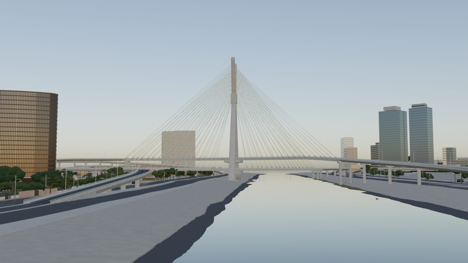
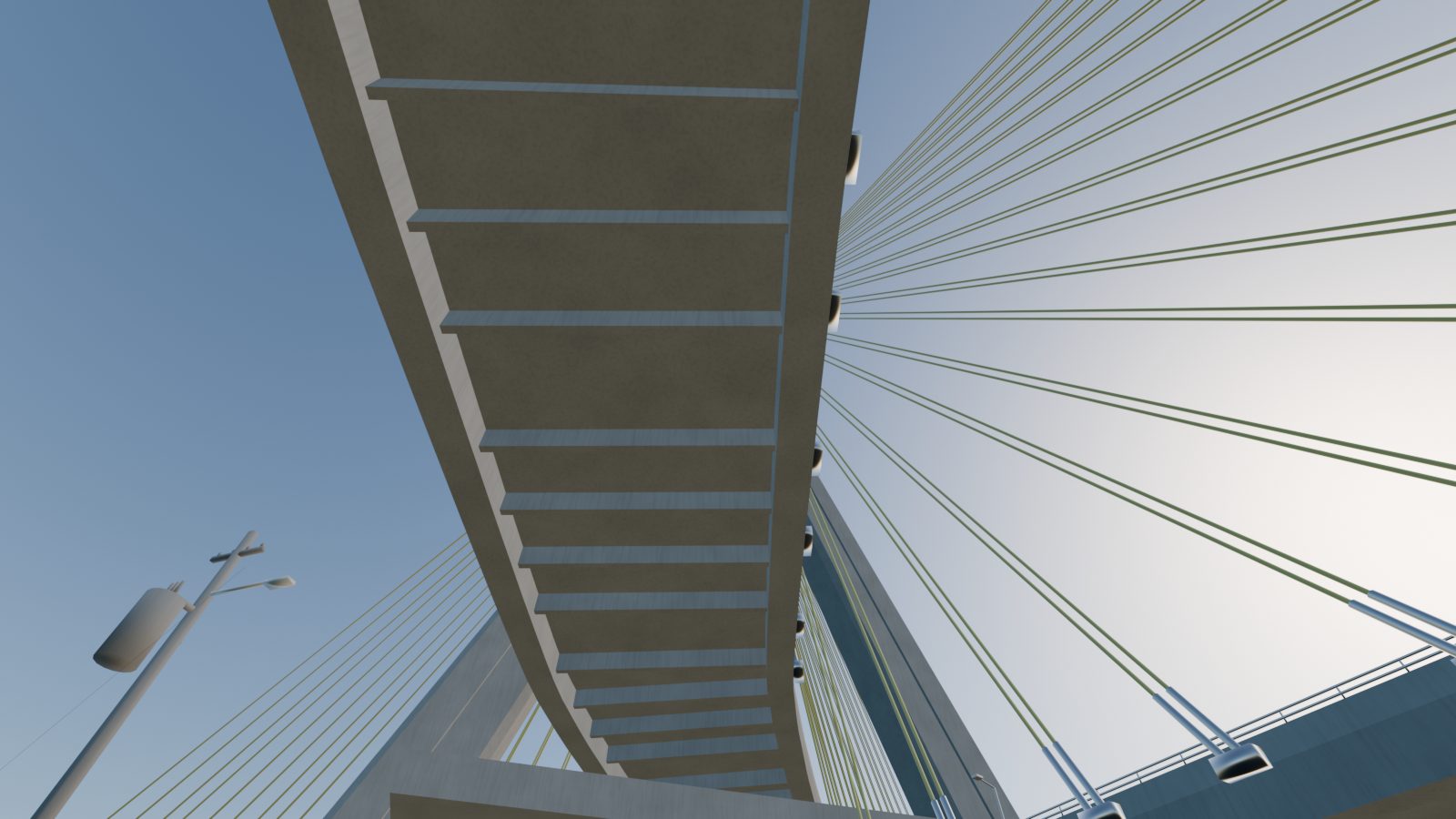
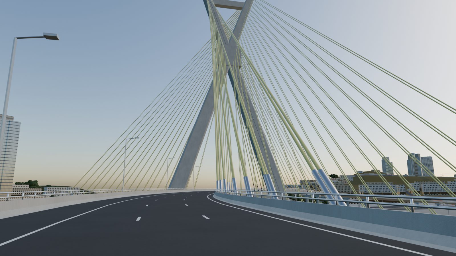
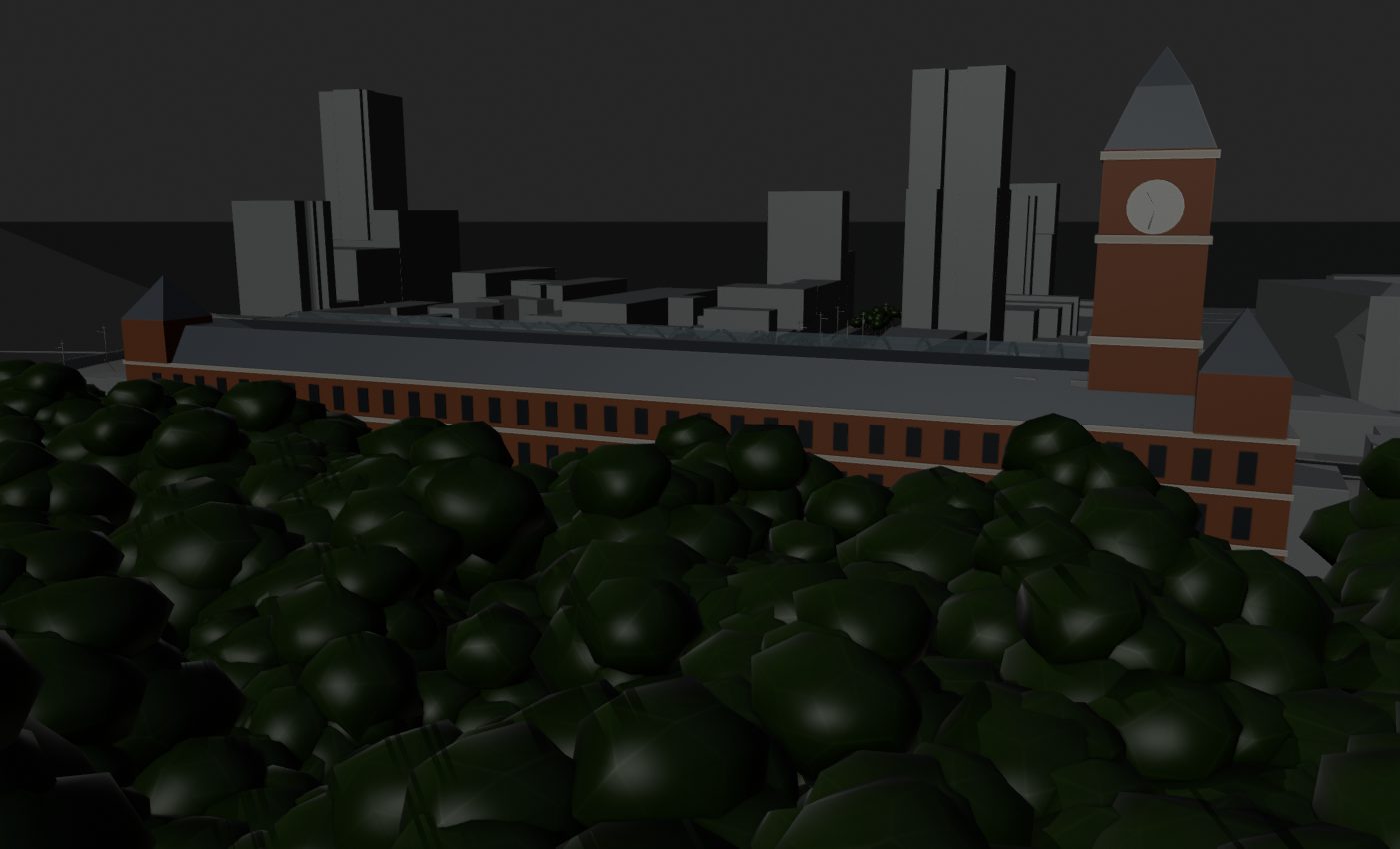
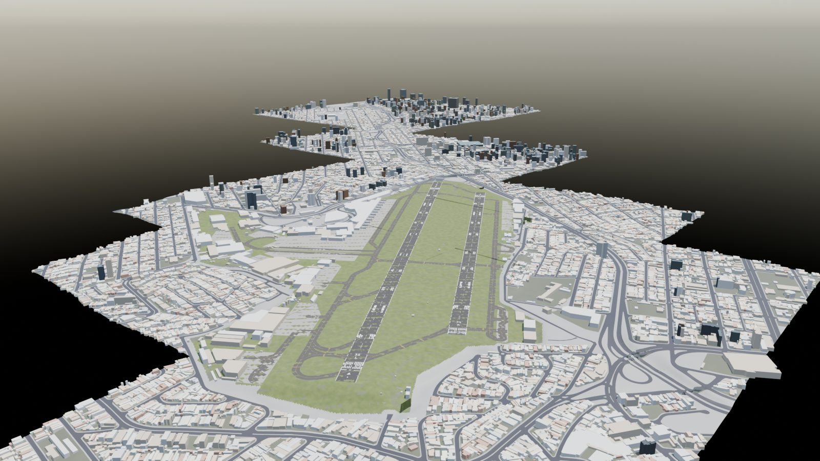
A few structures get their own models on top of the procedural city: the Octávio Frias de Oliveira cable-stayed bridge, Estação da Luz with its clock tower and glazed train shed, the airport at Congonhas, the Line 17 monorail. The map at the top pins named landmarks across all three blocks: stations, museums, stadiums, churches and parks.

Ponte Estaiada from the river
Ponte EstaiadaFrom the Pinheiros river
Under the Ponte Estaiada
Under the X-shaped mast
On the Estaiada deck
On the deck
Estação da Luz
Estação da Luz
Congonhas airport
Congonhas (CGH)
Every street, named

Turn a corner, see the name

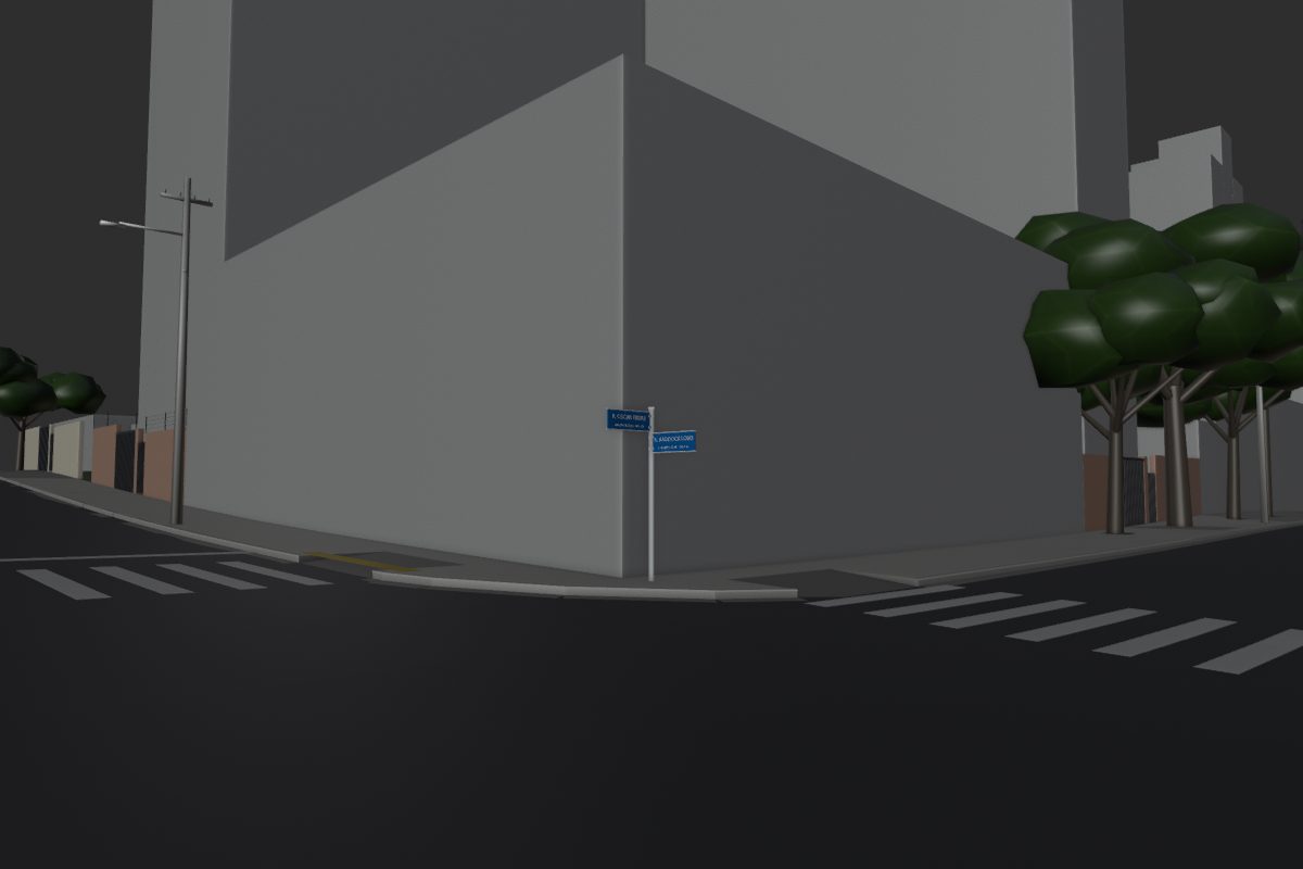
Street names are matched between OpenStreetMap and the city's official street register, down to each block's house numbers. In the game, the name and neighbourhood fade in when you turn onto a street. At every crossing, the city's blue name plates stand on the corner.

Corner of Rua Oscar Freire and Rua Haddock Lobo
R. Oscar FreireCerqueira César   632–753
R. Haddock LoboCerqueira César   1364–1521

Each plate shows its block's real number range from GeoSampa. Plates turn away from walls automatically, and every sign is a breakaway object in the physics manifest.

Which way the traffic goes. Every road piece also carries its direction and lanes: 35,263 one-way pieces and 159,063 travel lanes, with turn rules through each junction, 4,187 signalised crossings, PARE signs on the minor road and priority from the right where the CTB says so. Bus lanes, speed bumps and 534 speed cameras (there to look at, they don't fine you) come from the same data. Switch on Traffic direction under any tile render to see it.
Quality

Block 1: 576 tiles, checked by machine

Every 500 m tile is opened headless and inspected for objects standing in the road, floating buildings, terrain poking through asphalt, missing bridges and seams with its neighbours. Then eight automatic repair passes run, and the tile is checked again. The goal is every tile at grade A: deep green. Block 1 got there on 13 October; block 2 goes through the same passes next. Since November every tile in the cloud is also going through a street-surface sweep: bumps, steps, gutter flicker and ground poking through the road are measured on a 0.5 m grid, fixed, and checked again.

Grade distribution after each repair pass
Now
–tiles at grade A (deep green)
–high-severity issues left (from 511)
Repair passes
  1. Street furniture: duplicates removed, bins and trees moved out of the carriageway
  2. Lane paint re-seated on the asphalt; building bases dropped to the ground on slopes
  3. Road surface smoothed; terrain carved under every street
  4. Poles off the road, outdated 2014 footprints hidden, gaps in the street network filled
  5. Level-aware smoothing so viaducts don't average with the streets under them
  6. Bridge decks for the Minhocão and the river bridges; floating towers grounded
  7. Streets re-fitted along their length so they are level across, as real streets are
  8. The last steep steps flattened, ramp skirts turned into retaining walls, paint re-laid, objects moved off the curb line
What comes next

Four times the city

The plan is to grow the 24 × 24 grid to 48 × 48 tiles, 24 km on a side. Two of the four blocks are built: the original map and the north block (Santana, Casa Verde, Tremembé). The east block (Mooca, Tatuapé, Vila Prudente) is being built now, and the north-east (Vila Maria, Penha, the edge of Guarulhos) follows.

Tiles inside the city use the same GeoSampa survey layers as today. Tiles outside it (São Caetano, Santo André, Guarulhos) will be built from OpenStreetMap alone, with a coarser terrain model.

Santa Catarina · the second city

Balneário Camboriú

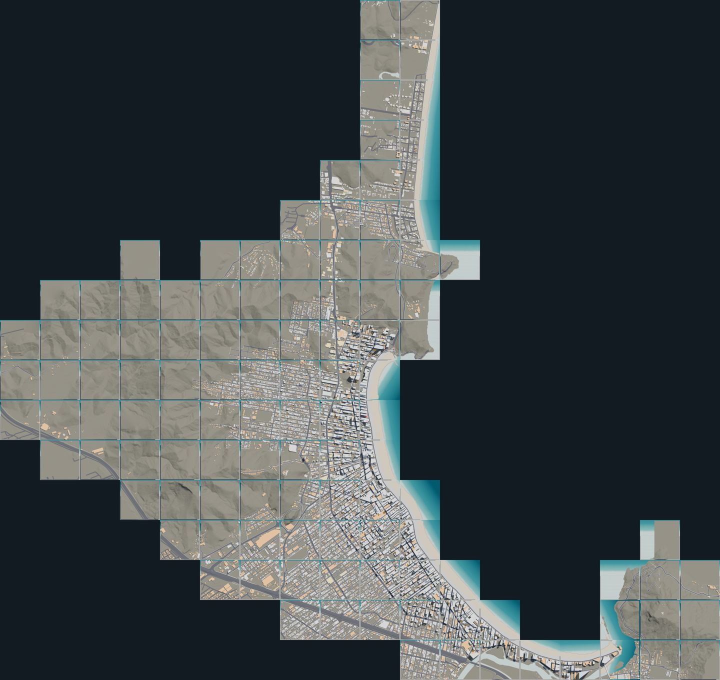
The same pipeline, pointed 600 km south at Brazil's tallest skyline. 116 tiles from the Barra Sul jetty to Praia Brava, built from the city's own pseudo-3D cadastre: every building carries a height and a confidence flag, every street its name, house-number range and CEP. It is the second of four 1:1 cities the road network will join.

Tile mosaic of Balneário Camboriú and Praia Brava

Heights come from the cadastre's 3D units (checked against OpenStreetMap floor counts), from the CTBUH list for the named towers, or are flagged as provisional. Cross streets are named by number and houses numbered by the metre, so the CEP ranges from Correios fall into place along each axis.

Open the Balneário Camboriú section →

Headed for Unreal Engine 5

Hit a pole, it falls

Every object carries a crash class for the game's physics: lamp posts snap at 35 km/h, concrete distribution poles at 60, thick trees stop a car cold, and saplings bend out of the way. Street names stream with each tile, so the banner works anywhere in the map.